

The Danube: The Trans-European Conduit
For millennia, the middle Danube in Hungary acted as the Roman Empire’s fortified northern boundary—the Danubian Limes—before transforming into Europe’s primary axis of trade, art, and dynastic politics.
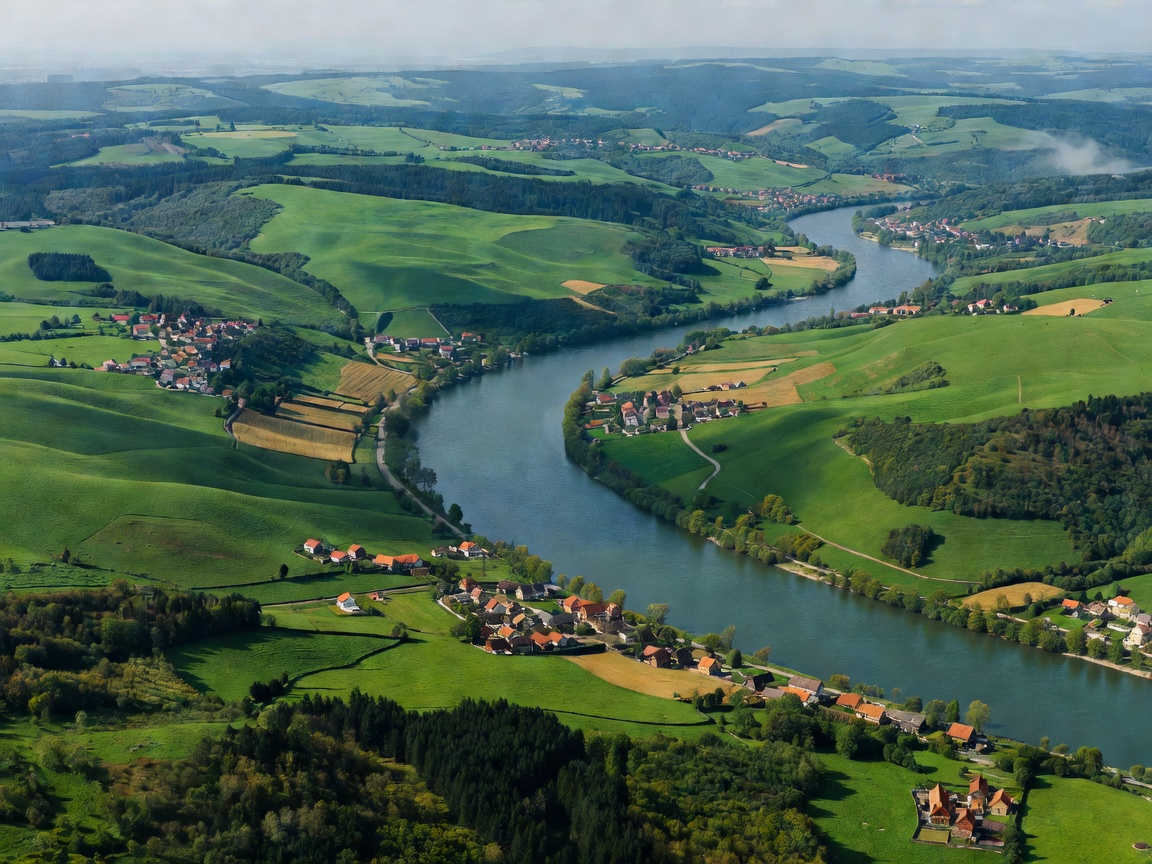
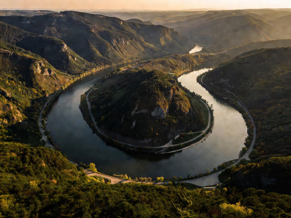
The geomorphology of the Danube in Hungary presents a fascinating transition. Entering at the Kisalföld (Little Hungarian Plain), the river splits around massive fluvial gravel deposits, creating the labyrinthine braided channels of the Szigetköz. As it continues eastward, the river cuts cleanly through the Transdanubian Mountains at the Danube Bend, pivoting precisely 90 degrees south towards the vast Pannonian Basin.
This sharp southward turn created Hungary’s central corridor. For 280 kilometers from Vác to the southern border with Croatia and Serbia, the river becomes a broad lowland stream bordered by rich alluvial floodplains, dense willow-poplar galleries, and wide agricultural plains that sustained kingdom economies for over a thousand years.